🧊 Thule Island: Antarctica’s Forgotten Frontier — Or Something More?
By The Flat Earth Journal | June 2025

THE SOUTHERN MYSTERY NO ONE TALKS ABOUT
SOUTH ATLANTIC OCEAN — Near the bottom edge of the world map sits a desolate, windswept patch of land called Thule Island. Part of the South Sandwich Islands, this icy, volcanic landmass is officially uninhabited, virtually inaccessible, and almost never mentioned in modern media.
But for Flat Earth theorists, Thule Island is far more than frozen rock — it may be a hidden key to what's beyond the Antarctic barrier.
WHY THULE? WHY SO RESTRICTED?
Officially, Thule Island is administered by the United Kingdom. But access is militarily restricted, and nearly every satellite image of the area is low resolution or conveniently clouded.
Despite being just a few hundred miles from Antarctica, the island receives virtually no scientific research traffic — unlike other Antarctic zones constantly monitored by global agencies.
“It’s not that there’s nothing there,” says researcher Ellie Tarris.
“It’s that we’re not allowed to find out.”
THE FLAT EARTH CONNECTION
In Flat Earth models, the Earth is a flat, circular plane surrounded by an Antarctic ice wall. Some believe Thule Island is a watchpoint, sitting near a true exit zone — where access to outer lands is tightly controlled.
“Thule is like a back door,” says Tarris.
“A checkpoint for anything approaching the ice wall from the Atlantic side.”
Its remoteness, coupled with international treaties forbidding unregulated exploration of Antarctica, only adds to the theory.
HISTORY OF OCCULT LINKS
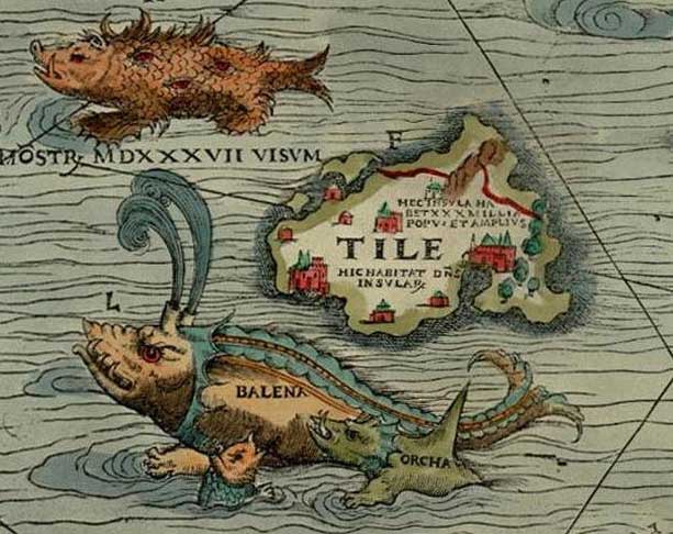
The name Thule isn’t random. In ancient Greek and Norse writings, “Thule” referred to the furthest known place — a mythical land near the world’s edge.
In the early 20th century, The Thule Society (a German occult group) claimed that Thule was a gateway to “hidden inner worlds.” Some even believed it connected to Agartha, or lands beyond the poles.
Why would a modern island share that name — unless it serves a similar role?
THE MAPS THAT HINT AT MORE
Old naval charts from the 1800s show additional landmasses near Thule Island — land no longer acknowledged by modern globes. These “phantom lands” align suspiciously well with the outer-ring theories proposed by Flat Earth cartographers.
Modern satellite maps show nothing. But long-range amateur footage from ships has allegedly captured unexpected mountainous regions, far beyond the South Sandwich Islands.
CONCLUSION: FRONTIER OR FACADE?
To the mainstream, Thule Island is just another icy blip on the world map.
To Flat Earth theorists, it is a crack in the illusion — a piece of the puzzle we’re not meant to see.
“They want us to believe it’s just rock and ice,” Tarris says,
“But we believe Thule Island guards the edge.”

 Admin
Admin 


