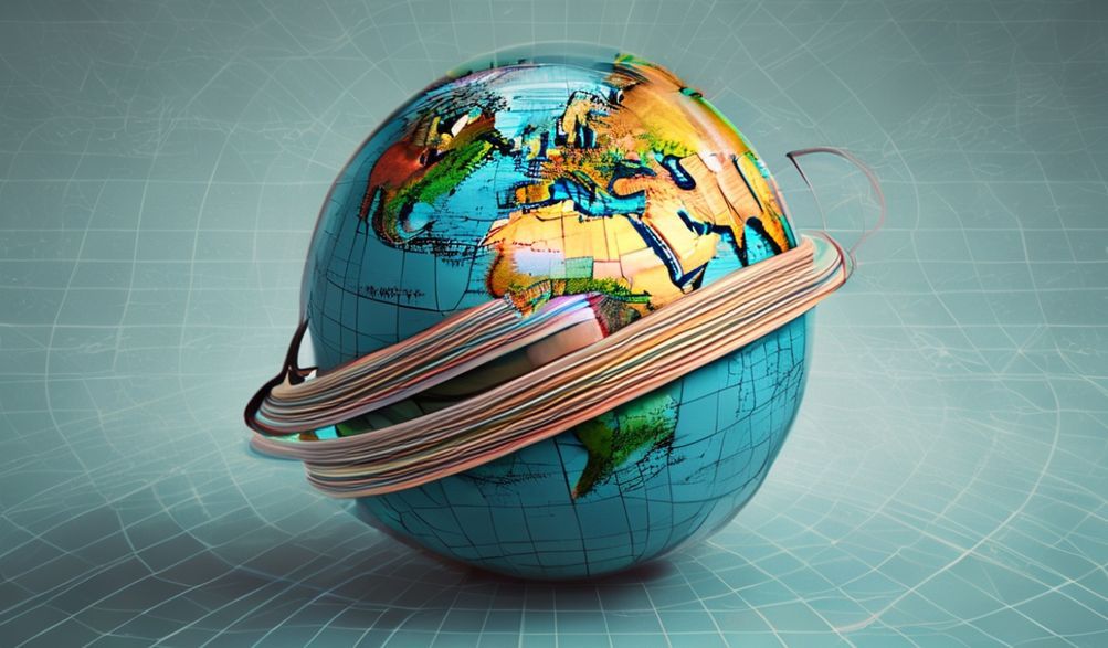
When it comes to understanding the world around us, few tools are as ubiquitous and influential as maps. However, what many people don’t realize is that these maps, which we rely on for navigation and to grasp the layout of our planet, are not entirely truthful. The reason behind this deception lies in the concept of map projections, which are the methods used to represent the Earth’s surface on a flat piece of paper or screen. Map projections are a necessity because the Earth is roughly spherical, and it’s impossible to perfectly translate its curvature onto a two-dimensional medium without some form of distortion. But have you ever stopped to consider the implications of these distortions and the reasons why maps are lying to you about the Earth?
The Evolution of Map Projections
The history of cartography is as old as human civilization itself, with early maps serving as crucial tools for explorers, traders, and conquerors. As the world became more interconnected, the need for accurate and standardized maps grew. However, the challenge of representing the Earth’s surface on a flat map has been a persistent problem. Over the centuries, cartographers have developed numerous map projections, each with its strengths and weaknesses. From the ancient Greek method of using a grid system to the modern-day use of digital mapping technologies, the way we project the Earth’s surface has evolved significantly. Yet, despite these advancements, the inherent distortions in map projections remain, influencing our perception of the world in profound ways.
At the heart of the issue is the fact that map projections are not just about representing geographical features but also about making choices that affect how those features are perceived. For instance, the Mercator projection, one of the most widely used map projections, distorts the size and shape of countries near the poles, making them appear larger than they actually are. This has significant implications, not just for navigation but also for how we understand geopolitical relationships and the distribution of resources. The choice of map projection can fundamentally alter our view of the world, often in ways that are not immediately apparent.
To truly grasp why maps are lying to us, it’s essential to delve deeper into the specifics of map projections. The following sections will explore different aspects of this issue in detail.
The Mercator Projection and Its Implications
The Mercator projection, developed in the 16th century, is perhaps the most well-known map projection. It’s excellent for navigation, as it preserves angles and shapes well, making it useful for sailors and aviators. However, its distortion of size, particularly near the poles, has significant consequences. Greenland, for example, appears to be similar in size to Africa on a Mercator map, when in reality, Africa is about 14 times larger. This distortion affects not only our geographical understanding but also our political and social perceptions, potentially leading to misunderstandings about the importance and influence of different regions.
Alternative Map Projections
In response to the limitations of the Mercator projection, cartographers have developed alternative map projections that aim to minimize distortion. The Gall-Peters projection, for instance, preserves area better than the Mercator, providing a more accurate representation of the relative sizes of countries. However, it distorts shape, which can be visually unappealing and less intuitive for navigation. The Robinson projection is another example, designed to balance the distortion of size and shape, offering a compromise that is visually appealing and relatively accurate. Each of these projections has its use cases, but they all remind us that the choice of map projection is a trade-off, influencing what we see and how we interpret the world.
The Impact on Education and Perception
The maps we use in education have a profound impact on how children learn about the world. If the maps used in classrooms distort the size and shape of countries, this can lead to a skewed understanding of global geography and the relationships between different nations. Moreover, the perception of one’s own country in relation to others can influence national identity and international relations. The choice of map projection in educational settings is thus not just a technical decision but a political and social one, shaping future generations’ views of the world and their place within it.
Digital Mapping and the Future of Cartography
The advent of digital mapping has revolutionized the way we interact with maps. Platforms like Google Maps and GPS navigation systems have made it easier than ever to find our way around the world. However, these digital maps also rely on map projections, and while they can adjust projections based on the context (such as zoom level), they still present a distorted view of the Earth. The future of cartography will likely involve more sophisticated digital projections that can adapt to different needs and contexts, potentially offering more accurate and nuanced representations of our planet.
The Ethical Considerations of Map Projections
Ultimately, the choice of map projection is not just a technical matter but an ethical one. It involves considerations of how different projections can influence our perceptions, reinforce biases, and potentially perpetuate geopolitical inequalities. The ethical cartographer must be aware of these implications and strive to create maps that are not only accurate but also fair and unbiased. This requires a deep understanding of the distortions inherent in map projections and a commitment to transparency and accountability in the mapping process.
The Necessity of Map Projections
Some might argue that the distortions caused by map projections are a necessary evil, given the impossibility of representing a spherical Earth on a flat surface without any distortion. They might claim that the benefits of navigation and the practical uses of maps outweigh the potential downsides of distorted representations. Furthermore, with the advent of digital technology, it’s become easier to switch between different map projections, allowing users to choose the one that best suits their needs. However, this perspective overlooks the profound impact that map projections can have on our understanding of the world and the potential for these distortions to reinforce existing power dynamics and misconceptions.
In conclusion, the lies that maps tell us about the Earth are rooted in the inherent distortions of map projections. These distortions are not merely technical issues but have profound implications for how we understand our world, interact with it, and perceive our place within it. As we move forward in an increasingly globalized and interconnected world, it’s crucial that we consider the impact of map projections on our perceptions and strive for a more nuanced and accurate understanding of the Earth. By acknowledging the limitations and biases of map projections, we can work towards a future where maps not only navigate us through the physical world but also help us navigate the complex social, political, and ethical landscapes that shape our lives.
Ultimately, the story of map projections is a reminder of the complex interplay between technology, perception, and reality. As we continue to evolve our mapping technologies and methodologies, we must do so with a critical awareness of the potential for maps to both unite and divide us, to educate and mislead us. Only through this awareness can we hope to create maps that truly reflect the world as it is, in all its complexity and beauty.