🧭 Do You Know… Ancient Maps Show Antarctica Without Ice?
admin
Author
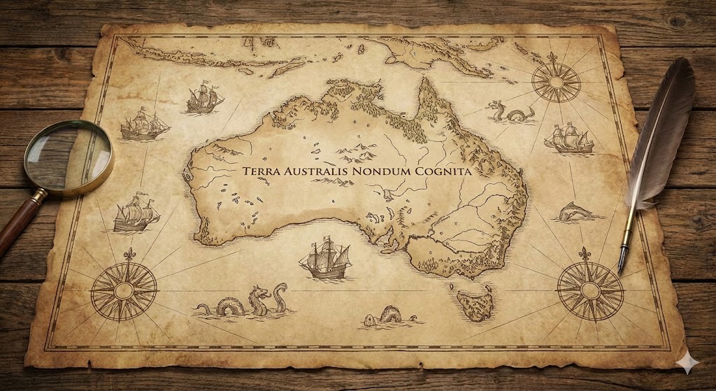
Centuries before Antarctica was officially “discovered” in 1820, ancient cartographers were somehow drawing detailed coastlines of a landmass at the bottom of the world — completely ice-free.
The most famous example is the Piri Reis Map of 1513.
It shows the exact shape of Antarctica’s coastline beneath the ice — something modern scientists only confirmed in the 1950s with advanced seismic mapping.
How did a 16th-century admiral draw something we only learned with satellites?
The mystery deepens with the Oronteus Finaeus Map (1531), which also shows Antarctica as a warm, river-filled continent with open bays and ports — not a frozen wasteland buried under miles of ice.
Then there’s the Buache Map (1737), which outlines subglacial mountain ranges and valleys that modern researchers didn’t uncover until the 20th century.
These maps all share one impossible feature:
👉 They depict Antarctica without ice — as if someone mapped it thousands of years ago when the continent was warm.
But here’s the problem:
Mainstream science claims the Antarctic ice sheet has been continuously frozen for millions of years.
So how can maps from 500 years ago show details only visible beneath the ice?
Who mapped the land before it froze?
Historians try to dismiss the issue by claiming cartographers were “guessing.”
But the accuracy is too precise to be imagination:
-
Correct latitude and longitude
-
Accurate coastal shapes
-
Exact locations of mountain ranges
-
River systems matching the subglacial terrain
-
Two landmasses split exactly where modern seismic data shows a hidden channel
These are not guesses.
These are measurements.
The only conclusion is uncomfortable but unavoidable:
Someone mapped Antarctica when it was ice-free.
This pushes the timeline of advanced civilization far beyond Egypt, Sumer, or Greece. It suggests the existence of ancient seafaring cultures with global navigation skills, advanced mathematics, and mapmaking knowledge — long before our recorded history begins.
Some believe these maps preserve knowledge from a lost civilization like Atlantis.
Others argue they came from an older global maritime culture wiped out by a cataclysm.
A few point to even stranger evidence: whatever mapped Antarctica did so with the accuracy of aerial or orbital imaging.
Regardless of the explanation, the implications are explosive:
-
Antarctica was ice-free in human memory
-
A forgotten civilization explored the entire planet
-
Modern history is missing a massive chapter
Ancient maps do more than chart land —
they reveal a past the world was never taught.
And Antarctica, the most restricted continent on Earth, hides a secret the maps quietly recorded long before science caught up.